G-SpykeOffline geology app for stratigraphic logging.
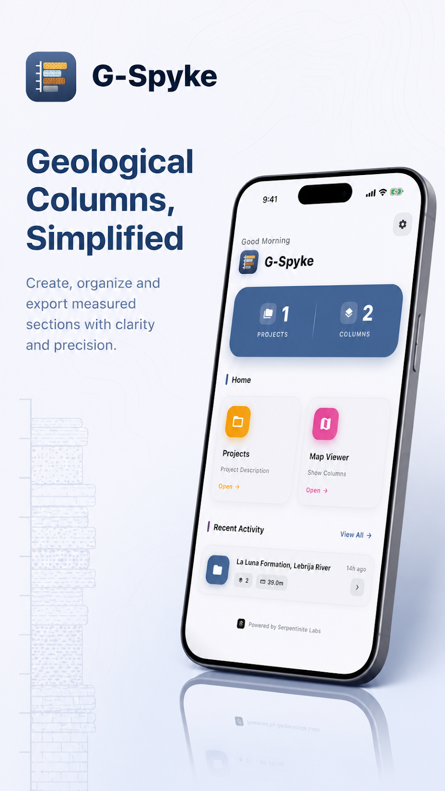
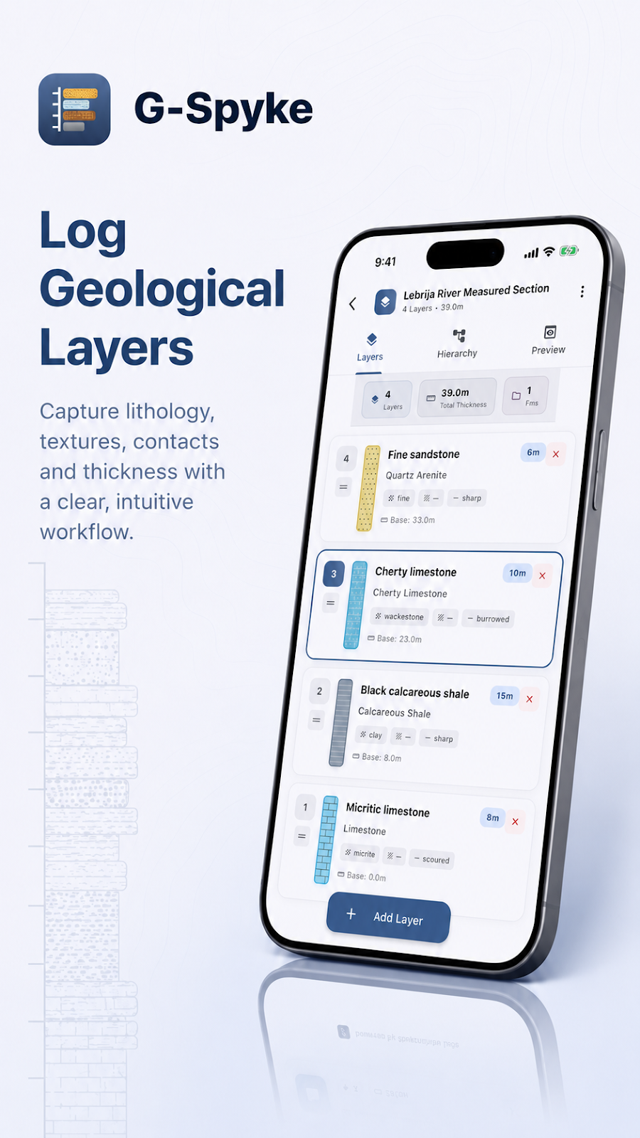
G-Spyke is a mobile app for building stratigraphic columns directly in the field. Instead of sketching sections on paper and redrawing them later, you log each layer on your phone as you measure it — and walk away from the outcrop with a finished, structured column.


Inside G-Spyke
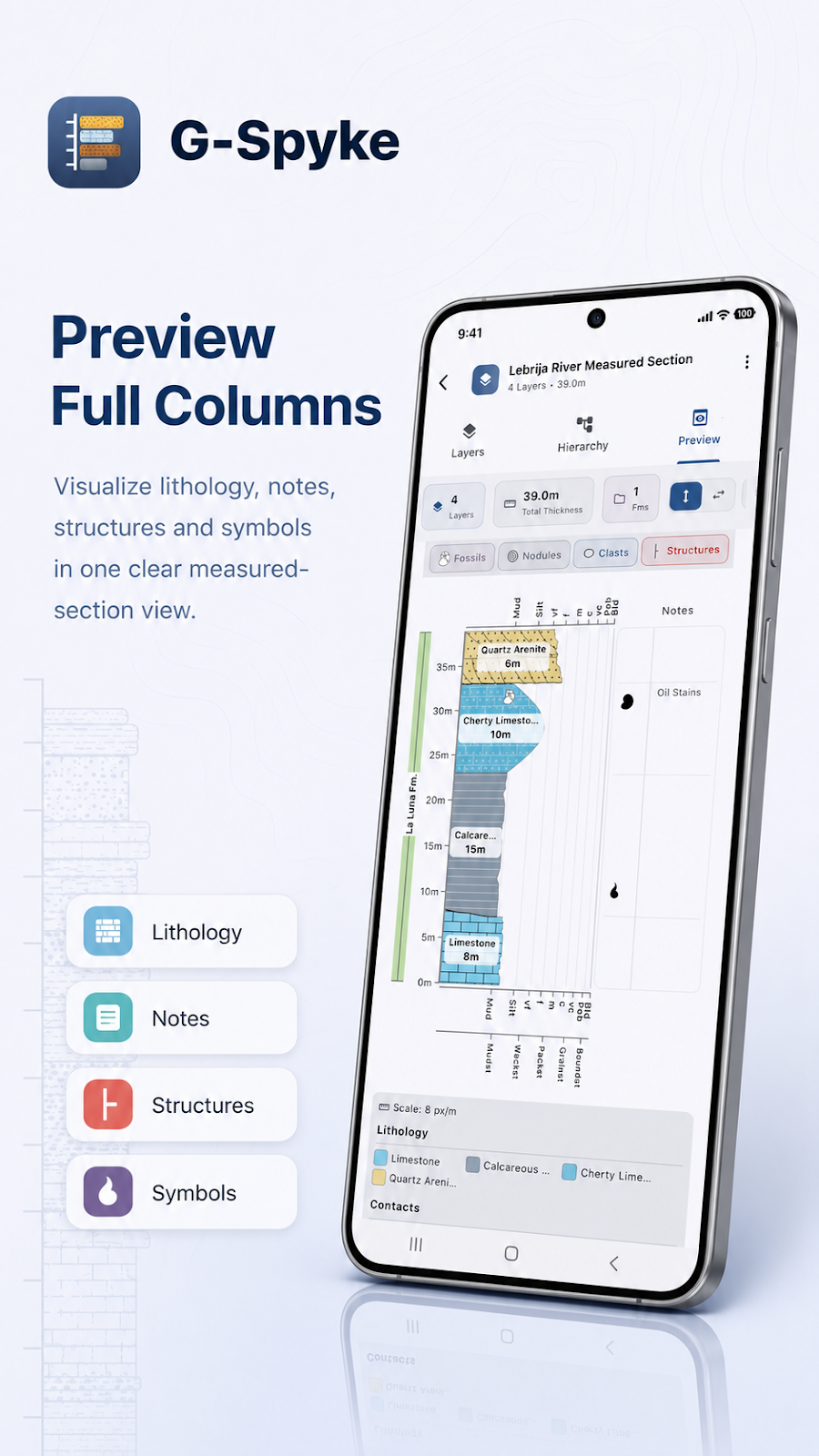
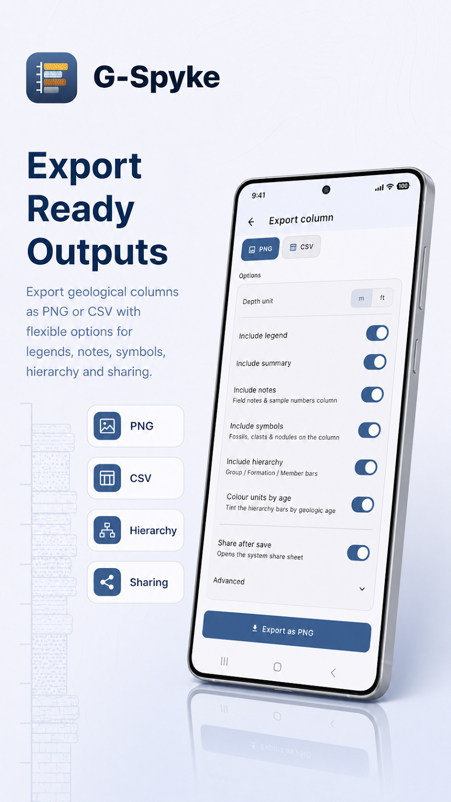
G-Spyke capabilities
The essential tools for documenting a section.
Capture information at the outcrop, preserve the context of each observation and prepare results you can keep using outside the app.
Offline fieldwork
Record observations beyond network coverage. Your projects remain on the device.
GPS location
Associate coordinates with columns and outcrops to preserve their geographic context.
Stratigraphic logging
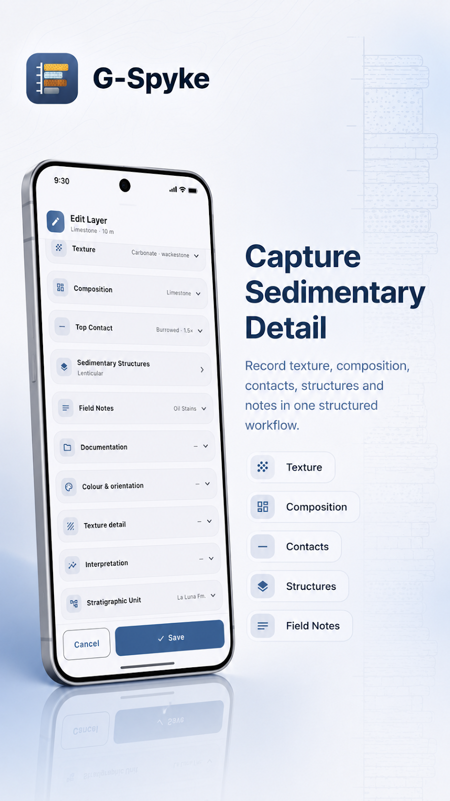
Document lithology, thickness, color, contacts and sedimentary structures for each unit.
Field photography
Take photos or attach them from your gallery to keep visual evidence with your data.
PNG and CSV export
Generate a column image or export tabular data for further analysis and sharing.
Projects and columns
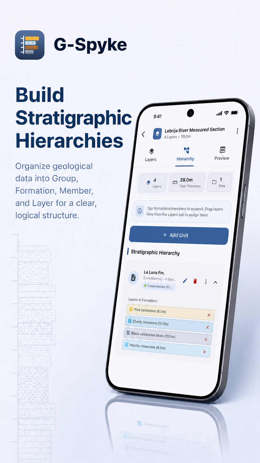
Organize multiple columns by project and review the complete section before exporting.
G-Spyke guides
Record a stratigraphic column with G-Spyke
A field workflow for logging layers, lithology, thickness, contacts and photographs in the G-Spyke geology app.
Read morePrepare for offline geological fieldwork
Use G-Spyke without an internet connection and prepare your observations, photographs and exports before a field day.
Read moreExport geological columns as PNG and CSV
Choose between a column image and tabular geological data when exporting from G-Spyke, then check the result.
Read morePrivacy Policy
Your data stays yours
G-Spyke uses your location to geotag sections, your camera and gallery for field photos, and device storage to save your projects — everything you create stays on your phone, with no accounts and no ads. To keep the app stable we collect anonymous crash and usage diagnostics through Google Firebase; the details are in the privacy policy.
Read the full privacy policy